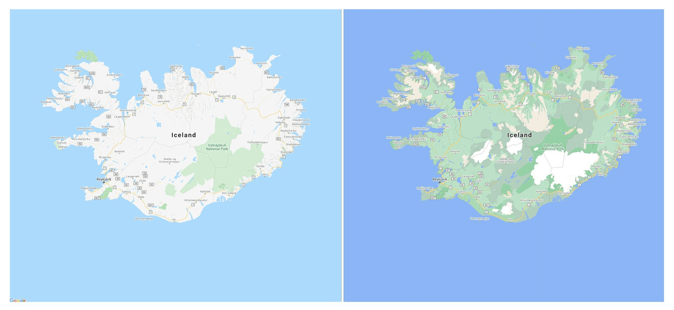
Google is improving Google Maps in two essential points.
Firstly, the maps are more detailed in their colour representation. Google has high-resolution satellite images for areas where 98% of the world’s population lives and now wants to better reflect the information from the images in the abstract map representations. For this purpose, a new algorithm is used which can assign a corresponding colour to the geographical conditions. This makes it easier to assess the terrain under consideration.
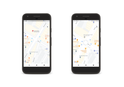
And there’s also a nice update for everyday use, albeit initially in the cities of London, New York, and San Francisco: pedestrian navigation now shows sidewalks, crosswalks, and pedestrian islands. This is especially useful for wheelchair users. Gradually, Google will also provide this information for other cities. In the App the new functions should appear in the next few days.
We know that many people use Google Maps for their navigation because Apple Maps is sometimes not detailed enough and some features, such as bicycle navigation, are not available at all outside some cities in the USA. The fact that Google is now adding new practical functions is excellent for us. But why Apple still treats the map app like an orphan makes us think again.


